 |
 |
 |
 |
Rio Ciorosolin


Description:
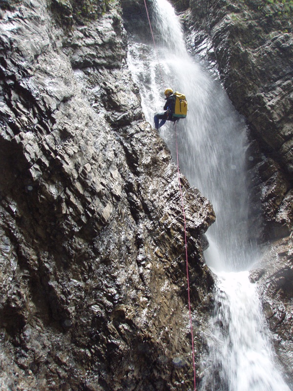
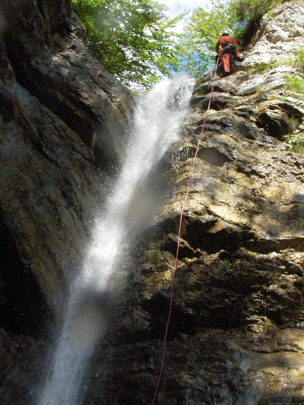
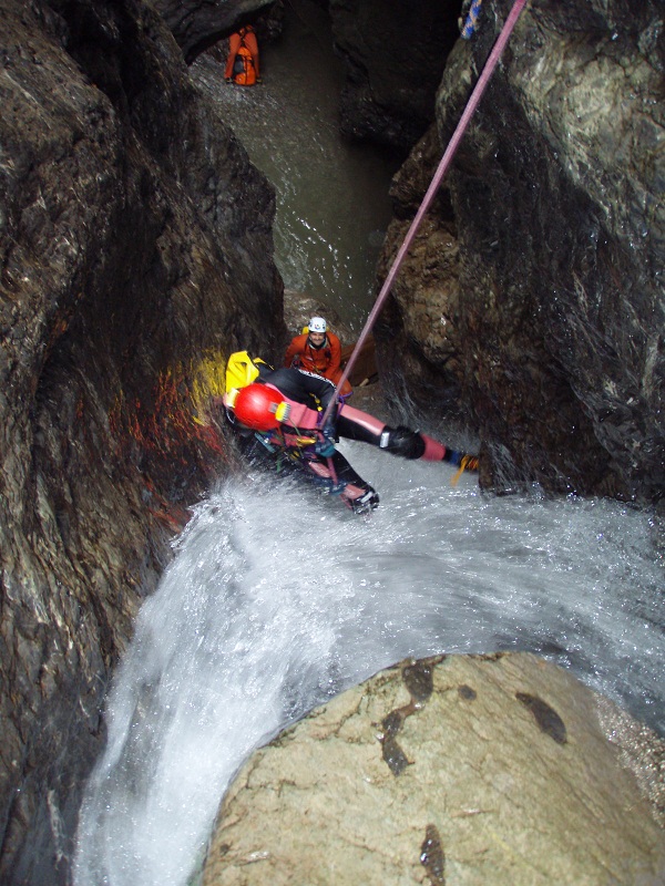
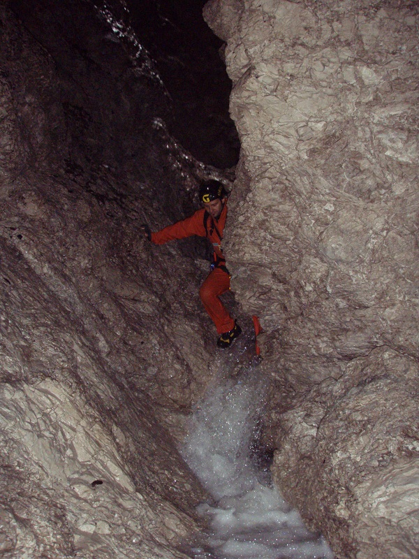
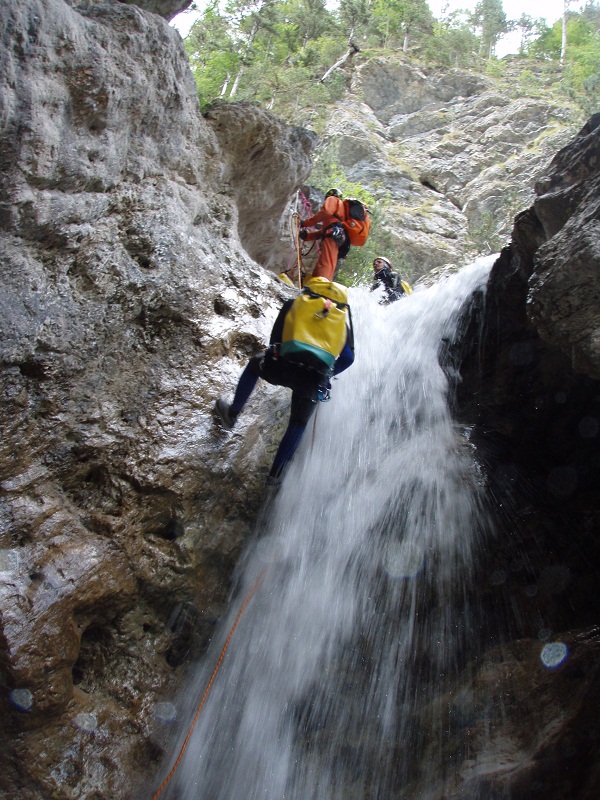
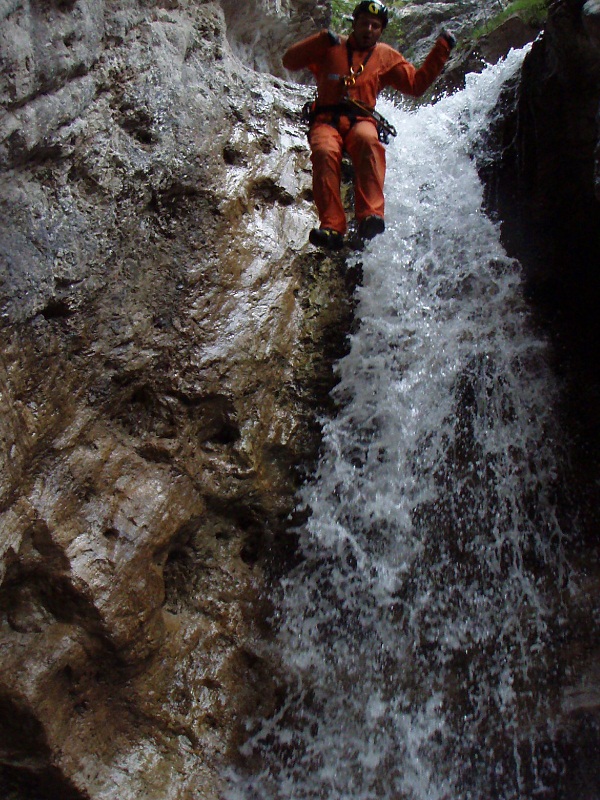
Beautiful and challenging canyon in a pristine and wild environment characterized by a incredibly tight stretch. The route, although not very interesting in the first section, is considered as one not to be missed but it is only recommended for experienced canyoners.
Zone:
Friuli Venezia Giulia - Claut (PN)Elevation and length:
Entrance: 1229 mExit: 857 m
Height difference: 372 m
Lenght: 1800 m
Highest pitch: 42 m
Advised decent period:
From July to SeptemberExposure:
SouthTimings:
Approach: 1hDescent: 6h 30'
Return: 10'
Shuttle:
NoAnchors:
More or less sufficientAdvised ropes:
2 of 50 m + emergency ropeGear:
Complete wetsuit and bolting kitEscapes:
In the first half of the route there may be the possibility to exit at certain points on the left (unchecked). There are no possible exits in the lower part of the canyon.Map:
Carta Tabacco 1:25000 foglio n° 021 - Dolomiti di sinistra PiaveInterest:
NationalDifficulty:
V5 a4 VCoordinates for upstream (mountain) parking:
-Coordinates of the riverbed access point (start of canyon):
46° 20' 43,6" N 12° 33' 10,2" EApproach to the valley (lower car park):
Just before Claut, take a dirt road on the left in the Val Settimana. Follow it for about 10 km and park near the bridge of Ciarter.Approach to the canyon (walking):
From the bridge, follow the path CAI (red and white) n° 370 to an altitude of 1229 m where it meets the river. From here, access to the riverbed is easy and the first pitch is encountered after a few hundred meters.Description and technical notes:
01 - P 11 L 02 - P 6 L (avoidable)
03 - P 7 R
Tributaries enter from the left (encased) and from the right
04 - P 25 L (2 parts)
05 - J 4
06 - J 2
07 - J 4
08 - NA 10 L
09 - J 2
10 - MC + P 42 R
11 - P 19 R
12 - NA 2 (avoidable)
13 - P 4 L
14 - P 12 L
15 - P 4 L (avoidable)
16 - NA 3
17 - D 3
18 - J 2
19 - NA 2
20 - P 12 L
21 - D 6
22 - P 10 R
End of the narrow section
23 - P 6 R
Continue for 200 m
Possibility to exit by avoiding the last two rappels on the left
24 - P 6 R
25 - P 6 R
Exit:
Cross the river Torrente Settimana and walk uphill along the road to the car park (15 minutes).Notes:
The first descent was made by A. Kaiser and L. Piccini on the 6th September 1992.URL:http://www.canyoneast.it
Layout, design & revisions © 2017, CanyonEast Canyoning Team - Seba Broili, Vanessa Johnston, Romy Siegl, Cristian Vogrig
Webmaster: uomonero@canyoneast.it - Revised - - 22/08/2017
Layout, design & revisions © 2017, CanyonEast Canyoning Team - Seba Broili, Vanessa Johnston, Romy Siegl, Cristian Vogrig
Webmaster: uomonero@canyoneast.it - Revised - - 22/08/2017


